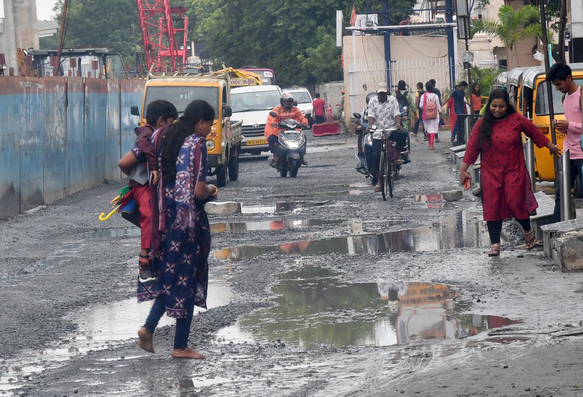
Heavy to very heavy rain likely to occur at isolated places over many districts in Tamil Nadu
Heavy to very heavy rain likely to occur at isolated places over many districts in Tamil Nadu
With the low pressure area (LPA) losing steam upon crossing to land, light to moderate rain with isolated thunderstorms and lightning is likely to occur at most places in Tamil Nadu, Puducherry and Karaikal on Sunday. The rain is expected to continue on Monday as well.
S. Balachandran, Additional Director General of Meteorology, Regional Meteorological Centre, Chennai, told presspersons on Saturday that heavy to very heavy rain was likely to occur at isolated places over Tiruvallur, Ranipet, Vellore, Tirupattur, Tiruvannamalai, Kancheepuram, Kallakurichi, the Nilgiris, Coimbatore, Tirupur, Dindigul and Theni districts.
Heavy rain was likely to lash isolated places over Chennai, Chengalpattu, Villupuram, Cuddalore, Krishnagiri, Dharmapuri, Salem, Namakkal, Erode, Karur, Tiruchi, Madurai, Perambalur, Ariyalur, Thanjavur, Tiruvarur, Nagapattinam and Mayiladuthurai districts in Tamil Nadu, and Puducherry and Karaikal.
Heavy rain is also likely to occur at isolated places over the Nilgiris, Coimbatore, Tiruppur, Dindigul, Theni, Madurai, Virudhunagar, Tenkasi, Thoothukudi, Tirunelveli and Kanniyakumari districts in Tamil Nadu.
Mr. Balachandran said that the Sirkali station had recorded 44 cm during the 24 hours ending 8.30 a.m. on Saturday, the highest in the last 122 years. The last time Sirkali recorded extreme rainfall was in 2017 on October 31. It registered 33 cm. During the same period, six places recorded extreme rainfall, above 20cm, 16 places recorded very heavy rainfall, above 12 cm, and 108 places recorded heavy rainfall. “This shows how a slow moving system can bring rain over such a vast area. In one day, the State became +12% in rainfall. From November 1 till now, Tamil Nadu and Puducherry usually register 26 cm [rainfall] but now the figure stands at 29 cm. Similarly, Chennai, which records 47 cm has registered 57 cm, which is +27%.”
The LPA, which was over the Southwest Bay of Bengal and adjoining areas of northeast Sri Lanka, now lies over north coastal Tamil Nadu, Puducherry and the neighbouring areas. The associated cyclonic circulation extends up to mid-tropospheric levels. It is very likely to move west-northwestwards across north interior Tamil Nadu and Kerala and, emerge in the southeast and the adjoining eastcentral Arabian Sea as an LPA/upper air circulation on Sunday.


